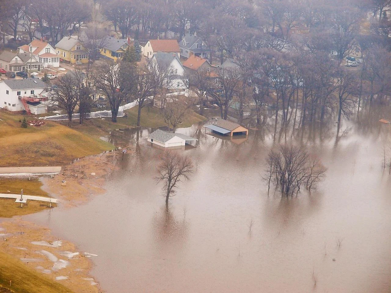
The Red River of the North. It is a river in North America. Originating at the confluence of the Sioux and Bois de Otter Tail rivers between the U.S. states of Minnesota and North Dakota, flowing north through the Red River Valley, which forms the border of Minnesota and North Dakota and continuing in Manitoba, Canada.
 |
| Red River of the North |
The Red River flows through several urban areas along its path, including Fargo-Moorhead and Grand Forks in the United States and Winnipeg in Canada. The Network is about 885 kilometers (550 miles) long, of which about 635 kilometers (395 miles) are in the United States and about 250 kilometers (158 miles) are in Canada. The 249 km Canadian section was declared in 2007 to be part of the Canadian Heritage River System.
