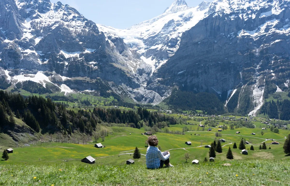
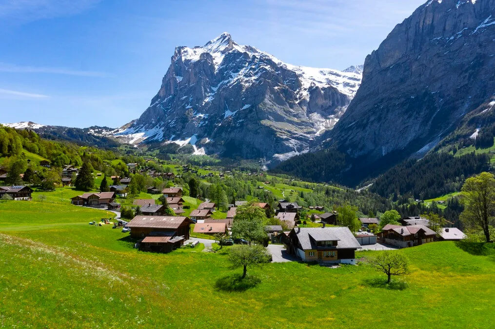
The small resort town of Grindelwald in the Bernese Oberland is a popular gateway to the Jungfrau region, Switzerland, with skiing in winter and hiking in summer. Grinelwald also serves as a base for rock climbing and climbing the legendary northern slope of the Eiger. Ice cave Gletscherschlucht, located just outside the border of Grindelwald, is equipped with a path that runs along waterfalls and furrowed limestone walls.
 |
| Grindelwald Switzerland |
Grindelwald, located at an altitude of 1034 m above sea level, has direct trains from Interlaken Ost station. Then you can take another train to the Kleine Scheidegg Pass, from where you can climb further to Jungfraujoch, or go down to Wengen and Lauterbrunnen. In summer, buses run from Grindelwald to Meiringen (via the Grosse-Scheidegg pass). The road to Grindelwald is fully covered by Swiss Pass tickets, but further, to Jungfraujoch, you will have to pay extra.
 |
| Grindelwald Switzerland |
History of Grindelwald
Grindelwald was first mentioned in 1146 as Grindelwalt. The oldest traces of settlements on this site date back to the Neolithic era. Several ancient Roman coins were also found. In the Middle Ages, a castle was built on the Burgbühl hill above Grindelwald. In 1146 King Conrad III donated his holdings in Grindelwald to the monastery of Interlaken.
 |
| Grindelwald Switzerland |
At the end of the 12th century, the barons of the Alpine valleys, which later became the Bernese Oberland, got involved in a war due to the expansion of Duke Berthold V of Zähringen. The duke defeated a coalition of nobles in the Grindelwald valley in 1191. His victory allowed him to expand the city of Thun and found the city of Bern.
