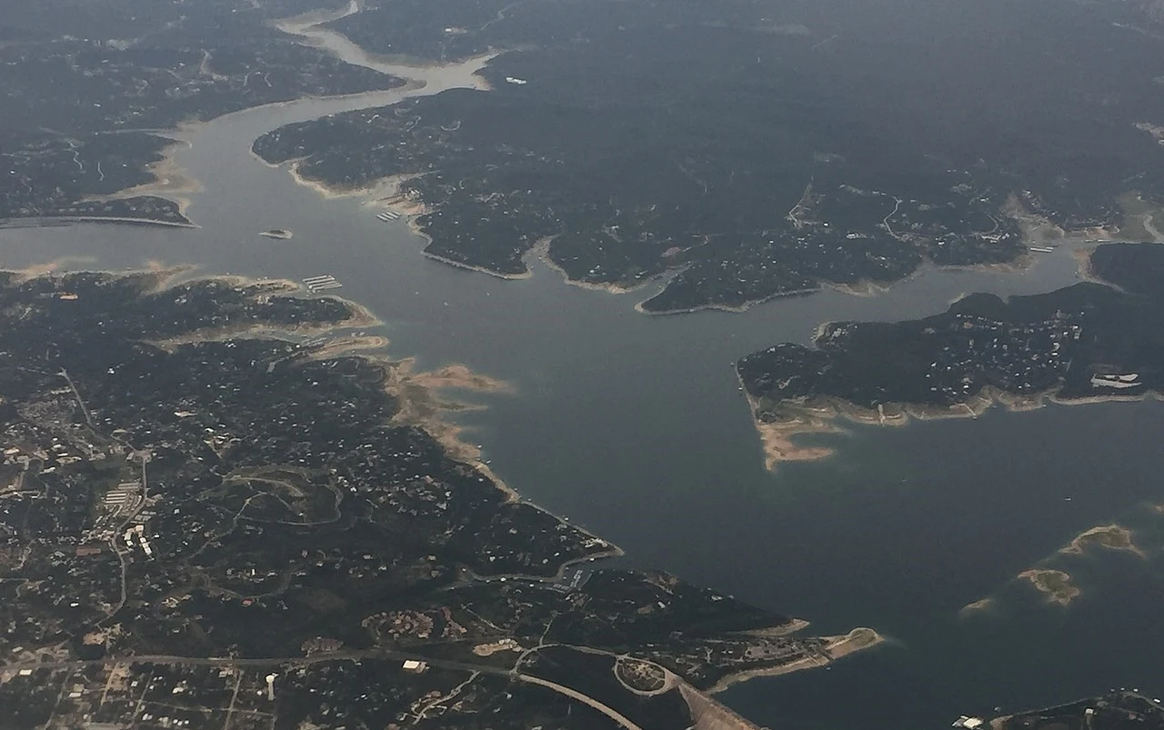
Location: Travis / Burnet counties, northwest of Austin, Texas.
Central Texas in the United States contains Lake Travis, a reservoir on the Colorado River.
 |
| Lake Travis Location |
The historical lowest to maximum water height fluctuation of Lake Travis, which primarily serves as a flood-control reservoir, is close to 100 feet.
For instance, Lake Travis' depth rose by 20 feet in only one 24-hour period during the 2018 Llano River flood (the Llano River flows into the Colorado River). Lake Travis, which spans 65 miles (105 km) upriver from western Travis County (near Lago Vista, Texas) in a highly serpentine course into southern Burnet County to Max Starcke Dam, southwest of the town of Marble Falls, has the largest storage capacity of the seven reservoirs known as the Highland Lakes with a surface area of 30 square miles. The lake is utilized for pleasure in addition to flood control and water supply, as well as for the production of electricity.
Southwest Travis County's Pedernales River, a significant tributary of the Colorado River, enters the lake.
