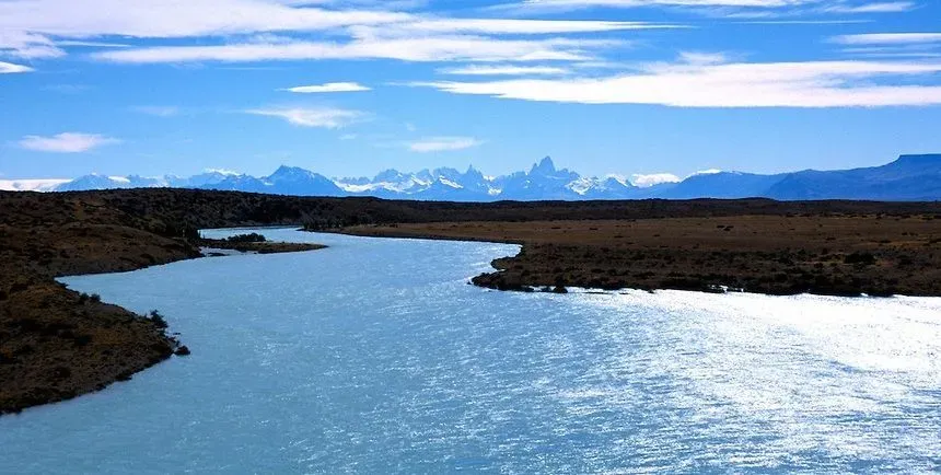
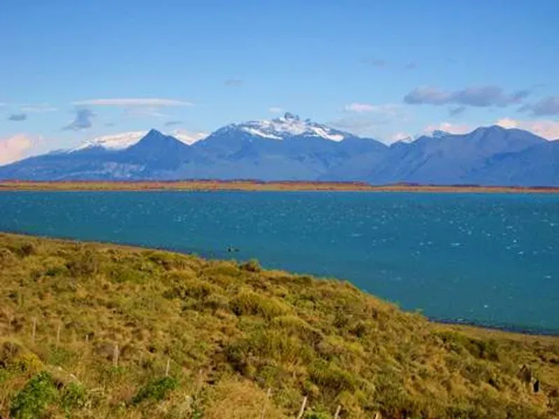
Santa Cruz River. It crosses Argentina and was the first river baptized in the extensive Patagonian coastline, beginning to appear early in European cartography of the 16th and 17th centuries . However, uncertainty about its sources persisted for centuries and even in 1749 on the Vaugondy map you can read RSCroix, without the drawing of its sources in Lake Cordillerano, later called Argentino.
 |
| Santa Cruz River Argentina |
History
A. Pigafetta had been the first to make a very rough sketch of the Santa Cruz estuary, with very little toponymy. It was incorporated into the history of the conquest of America in the harsh winter of 1520 by the expedition commanded by Ferdinand Magellan.
 |
| Santa Cruz River Argentina |
During the course of that expedition in 1520, the Spaniards lost the ship Santiago, which under the command of Captain Serrano had discovered the river, but a few days later it was pushed by storms against the coast, crashing into a cliff area to the south of the River mouth.
Due to this shipwreck and the frequent storms, the area had a very bad reputation for centuries, as an extremely dangerous place. It is up to the famous explorer and seal hunter J. Weddell to have made the first praises about the estuary, as a port of call and a place of supply of water, firewood and fishing.
 |
| Santa Cruz River Argentina |
Luis Vernet visited the area as part of an extensive voyage that included Cape Horn, Isla de los Estados, Tierra del Fuego, and the Malvinas Islands, recommending Santa Cruz to the Argentine government as a suitable port for a colony.
In January 1828, the English captain Pringles Stokes explored 45 km of the estuary area of the river, not having been able to trace its course beyond Pavón Island due to not having adequate boats to circumvent the strong current.
