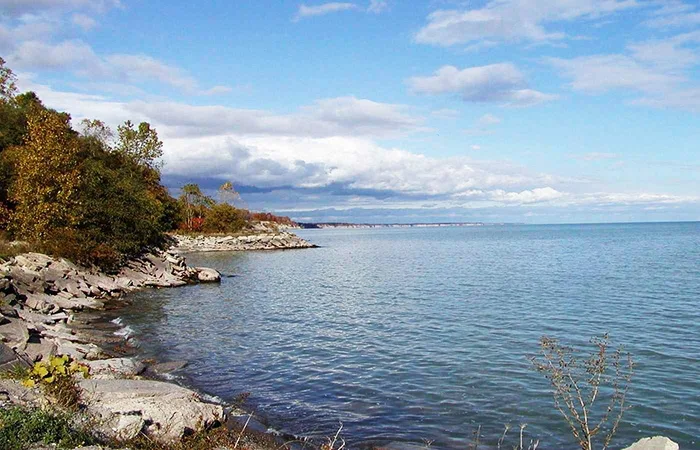
Lake Erie. On the border with the province of Ontario (Canada) and serving as boundaries with the North American states of Pennsylvania, Ohio, Michigan and New York, this lake is one of the Great Lakes of the United States.
 |
| Lake Erie |
Characteristic
Due to its size (it occupies about 25,700 square kilometers), it is considered the thirteenth natural lake in the world. Completely navigable, it has an elevation above sea level of 173 meters and an average depth of 19 meters; in this sense, it is the shallowest of all the Great Lakes.
It was named by the French explorers who discovered it as Lake Erie after the native tribe of the same name who lived throughout the states of Pennsylvania, Ohio and New York. This was the last of the Great Lakes to be discovered.
Perhaps its most notable characteristic, and which it shares with the others, is that it causes certain meteorological accidents, such as snowfall or the creation of a microclimate that is used by farmers in the area for its great benefits in crops, in particular for the production of wines, fruits and vegetables.
 |
| Lake Erie |
Lake pollution
In the mid- 20th century, specifically in the 1960s and 1970s, the lake suffered from serious pollution problems, becoming known by many as "the dead lake", and it went virtually unnoticed by the authorities until the Cuyahoga River suffered a big fire. The United States Congress, seeing the state compromised by the fire, decided to act and approved the so-called "Clean Water Act" ("Clean Water Act"). A few years ago, the environmental organization Greenpeace carried out a series of investigations that obtained interesting results: due to its shallow areas, the installation of wind turbines would be feasible in Lake Erie.
In addition, the area is characterized by constant winds, so this type of energy could bear excellent fruit.
 |
| Lake Erie |
Lake feeding forms
The lake is fed primarily by the Detroit River, from Lake Huron, and Lake Saint Clair and drains via the Niagara River and Niagara Falls into Lake Ontario. Downstream navigation is provided by the Welland Canal, part of the St. Lawrence Canal, the St. Lawrence Seaway. Other of Lake Erie's major tributaries include the Grand River, Raisin River, Huron River, Maumee River, Sandusky River, and Cuyahoga River.
Islands within the lake
In the lake there are many islands, such as Big Chicken, East Sister, Gibraltar, Green, Gull, Hen, Johnson, Kelleys, Little Chicken, Lost Ballast, Middle Island, Middle Bass, Middle Sister, Mouse, North Bass, North Harbor, Pelee, Rattlesnake, South Bass, Starve, Sugar, Turtle and West Sister.
Point Pelee National Park
Point Pelee National Park, the southernmost point of mainland Canada, sits on a peninsula that extends out over the lake. There are several islands on the western side of the lake that belong to Ohio, with the exception of Pelee Island, which is part of Ontario. The cities of Buffalo, in New York, Erie, in Pennsylvania, Toledo and Cleveland, in Ohio, and Monroe, in Michigan, are located on the shore of the lake.
