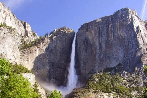
Yosemite Falls. They are the highest waterfalls in North America with a height of 739 m. Like some of the waterfalls in mountainous regions, they form where a glacier carves out a large truncated valley, leaving less eroded valley arms dangling. The always impressive Yosemite Falls are at their most spectacular in the spring when the snow melts and the water pours out.
 |
| Yosemite Falls Height |
Location
The falls are located in Yosemite National Park located in the central Sierra Nevada, California. This waterfall is surrounded by wilderness: Ansel Adams to the southeast, Hoover to the northeast, and Emigrant to the north.
Climate
The falls area has a Mediterranean climate, so rainfall normally occurs during the mild winter and the rest of the seasons are quite dry (rainfall during the hot summer months is less than 3%). Precipitation increases with the elevation of the terrain, up to 2,400 meters, from where it begins to decrease until the top. The amount of rain varies from 915 mm at 1,200 meters to 1,200 mm at 2,600 meters. Snow usually doesn't set on the ground until November, but it accumulates throughout the winter and remains until late March or early April.
Temperature
The temperature drops as the terrain elevation increases. Temperature extremes are moderate because Yosemite is only 100 miles from the Pacific Ocean. Hot, dry summer temperatures are tempered by frequent summer thunderstorms. The combination of dry vegetation, relative low humidity, and thunderstorms result in frequent fires sparked by lightning.
