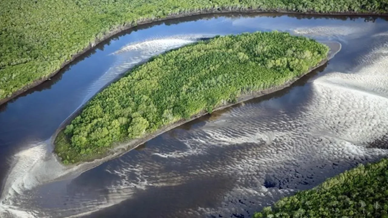
The Zambezi River is a large river in southern Africa. It is home to the famous Victoria Falls.
 |
| Zambezi River |
Description
The Zambezi River begins its journey in Zambia. The river flows through Angola, along the border of Namibia, Botswana, Zambia and Zimbabwe, to Mozambique, where it flows into the Indian Ocean.
The length of the river: 2574 km. Zambezi is the fourth longest on the continent, behind the Nile, Congo and Niger.
 |
| Zambezi River |
East
The source of the Zambezi is in the Dumbo region - black wooded swamps in northwestern Zambia on the Bie Plateau. The source is located at an altitude of 1543 meters above sea level.
Swimming Pool
The watershed between the Zambezi and Congo basins runs along a belt of uplands that lies between 11 and 12 degrees south latitude.
Reservoirs of the river basin lie on the territory of such countries: Namibia and Botswana. Zambia, Southern Rhodesia, Malawi, Mozambique, Angola.
Direction
In the upper part, the river flows to the southwest, sometimes changing direction to the east. After the Victoria Falls, the middle part of the river begins, and the Zambezi flows due east. In this area, the current forms numerous rifts, rapids and rapids. In the lower part, crossing the Cabora Bassa reservoir, the river redirects the flow to the west. At a distance of 160 km from the Indian Ocean, it is divided into channels, forming a delta in the mango thickets.
Mode
The water level in the river changes throughout the year. In winter (from March to November) the drought period begins and the river becomes smaller. From November, the water level rises by 1.5 m. During the rainy season, the river becomes rough.
 |
| Zambezi River |
Economic use
Hydroelectric power stations were built on the river, and with a surface area of 5400 km 2, the Kariba reservoir (1959) is one of the largest artificial lakes.
Since the peoples of the Zambezi coast are mainly engaged in agriculture, its waters are used for irrigation.
The river supplies electricity to many areas, including much of Zimbabwe and Zambia. She does this thanks to hydroelectric power stations: Cabora Bassa and Kariba.
Navigation on the river is impossible due to waterfalls and rapids. But boats and small steamers go for short distances. Five major bridges have been built across the river.
Fisheries are developed on the Zambezi, which is a significant part of the Zambian economy. During the fishing season, many people flock to the river from dry areas. Sport fishing and safaris are also organized on the Zambezi.
Wastewater is dumped into the Zambezi. Due to the lack of treatment facilities, water is polluted. This leads to the spread of diphtheria and typhus, as well as to the reduction of the mangrove forest area.
Interesting Facts
The banks of the Zambezi are home to many species of animals. Among them are hippos, crocodiles, monitor lizards, pelicans, white herons. Coastal forests are inhabited by Elephants, Antelopes, buffaloes. More than a hundred species of fish live in the river and even sharks are found.
The first European to visit this area was David Livingston. Traveling through the Zambezi, he discovered the Victoria Falls and Lake Malawi.
About Dumbo - the place of the source of the river - there are rumors. This mysterious place is surrounded by myths and superstitions. It is believed that sorcerers who allegedly use zombies live here.
