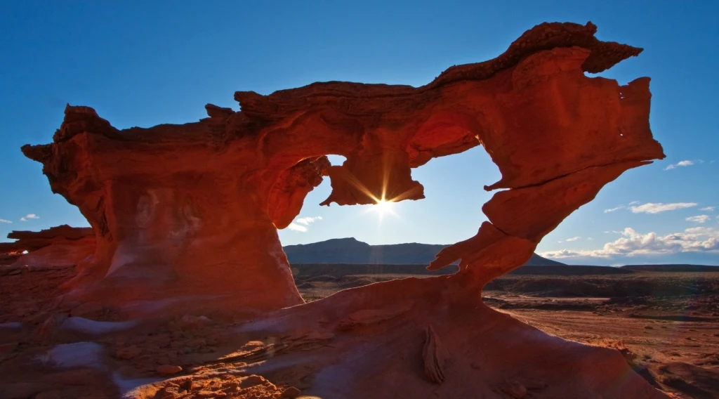
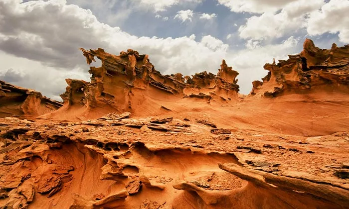
Little Finland is 50 miles from Mesquite, Nevada. This area really shines in the rays of the early sun. Little Finland is very reminiscent of the Fantasy Canyon with its bizarre stone formations.
Little Finland, also known as the playground for the Hobgoblin Brownie, is located in a very remote part of Nevada on the edge of the Gold Butte Byway. You can only get here by off-road vehicle using a topographic map and GPS. But believe me, when you get here, you will be rewarded with an extraordinary view of intricately twisted stone formations, in their shape resembling animals or other creatures that change their color depending on the time of day, and are especially beautiful after lunch and at sunset.
 |
| Little Finland Nevada |
Access Little Finland
To get to Little Finland, take I-15 from Las Vegas 70 miles northeast to Exit 112 and then follow the directions to Whitney Pocket. Once there, continue straight south on the now unpaved Gold Butte Road (WP FINLAND-01). From this wide, only somewhat stony gravel road, after 3.8 miles, following the sign for Little Finland, turn right onto Mud Wash N Road (WP FINLAND-02), a wide wash filled with pebbles, and follow this further 3.2 miles to the southwest to a point where another dirt road joins from the left, the Mud Wash Road (WP FINLAND-03).
 |
| Little Finland Nevada |
Here you keep straight ahead/ slightly to the right and now follow Mud Wash Road to the west, later to the northwest. After 0.7 miles you pass the not particularly worth seeing Mud Wash petroglyphs, which are located in a small rocky bay on the right side of the wash. The exact point is marked with a narrow post (WP FINLAND-04). A short time later you pass a wooden corral on the right-hand side (WP FINLAND-05).
 |
| Little Finland Nevada |
4 miles from the confluence with Mud Wash Road you finally turn right at the sign 'Little Finland 1.7 miles' at an acute angle (WP FINLAND-06) and drive on this track another 1.7 miles to the east until you reach the high red one Reached a rock face to which some large Californian fan palms nestle. Shortly before this wall, a narrow, steep path leads up to the left to a hill where you can park (WP FINLAND-07). But it is just as good to park below near the palm trees and walk this last short stretch to the trailhead. The travel time for the route should be around 45-60 minutes from Whitney Pocket and 1.5 to 2 hours from exit I-15.
