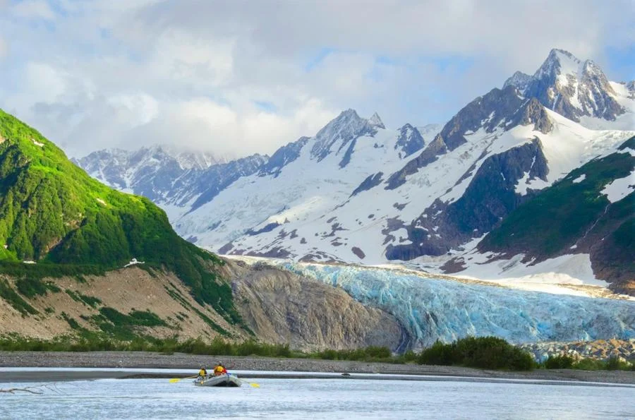
The largest protected area on Earth is in the Yukon, where Kluane National Park and Reserve and Tatshenshini-Alsek Wildlife Park converge with Glasher Bay and Wrangel Saint Elias National Park. This area is bypassed by multi-day boat trips down the Alsek River. The journey passes through massive canyons, dense forests and clusters of icebergs.
Kluane National Park and Reserve are two protected areas in the southwest corner of the territory in Yukon. The National Park Reserve was set aside in 1972 to become a national park, pending settlement of Native American land claims. It covered an area of 22,013 square kilometers (8,499 sq mi). When an agreement was reached with the Champagne and Aishihik First Nationsabout the eastern part of the reserve, this part - about 5,900 square kilometers (2,300 sq mi) - became a national park in 1993 and is a unit of the national park system managed jointly with Parks Canada. Much of the western part remains a reserve pending final land settlement with Kluane First Nation. The park borders on BC. to the south, and the reserve is bordered by both B. to the south, and the United States ( Alaska ) to the south and west.
 |
| Kluane National Park and Reserve |
The reserve includes the highest mountain in Canada, Mount Logan (5,959 meters or 19,551 feet) of the St. Elias Mountains. Mountains and glaciers dominate the landscape of the park, occupying 83% of its area. The rest of the park's territory is forest and tundra - east of the largest mountains and glaciers - where the climate is colder and drier than in the western and southern parts of the park. Trees grow only at the lowest elevations of the park. The main tree species are white spruce, balsam poplar and trembling aspen.
