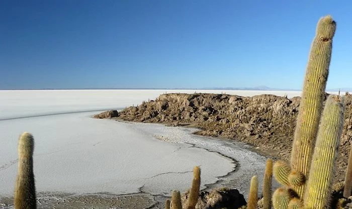
In the heart of the Uyuni Salt Flat lies Isla Incahuasi, one of the main attractions for most visitors. The name, which means “house of the Inca” in the native language of Quechua, highlights the importance of the island to the Incans. Years ago, before the invention of jeeps, local people would use Isla Incahuasi as a temporary refuge when crossing the salt flat. This hilly and rocky outcrop of land is the top of the remains of an ancient volcano which was submerged when the area was part of a giant prehistoric lake, roughly 40,000 years ago. The coral composition around the island is a fascinating reminder that the flats used to be part of a gigantic lake.
 |
| Isla Incahuasi |
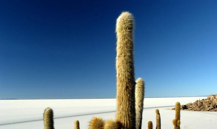
Once a lonely, unearthly place, this stunning piece of land is now regarded as one of the most interesting sites in Uyuni. The marvelous terrain is covered in a native species of cactus surrounded by a flat sea of white hexagonal salt tiles. These giant cacti are hundreds of years old and grow at a rate of one centimeter per year. Most of them are more than two meters high with some even reaching a whopping 10 meters. The stark contrast with the barren salt flats is what makes the abundant plant life on Inca Incahuasi all the more fascinating.
 |
| Isla Incahuasi |
Isla Incahuasi has a total area of 24.62 hectares. Most visitors follow the hiking trail to the top of the island, where the perfect vantage point for a salt flat photo awaits. The hike only takes 15 minutes to the top and the trail loops back to where you began. The cost of this hike is 15 Bs which isn’t included in the price of the tour but is definitely worth the extra cost. A highlight for many visitors is unwinding over a lunch in the delicious café-restaurant Mongo’s that’s located on this rocky outcrop of land. All tours to Salar de Uyuni stop at Isla Incahuasi.
