Andoya is the northernmost island of the Vesterålen archipelago, belonging to the Nordland province in Norway.
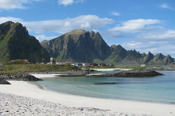
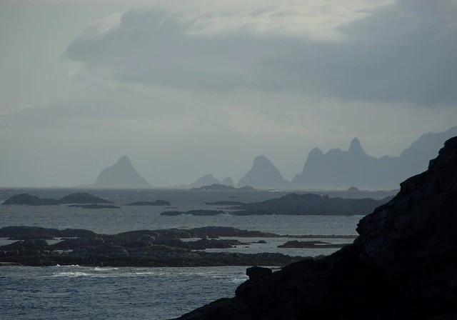
Andoya Island, washed by the waters of the Norwegian Sea, Andfjorden and the Risøysundet Strait, is the northernmost of the islands of the Vesterålen archipelago. Its area is 489 sq. km. It is the tenth largest island in Norway. It is notable for its harsh oceanic landscapes. Part of the island is covered with swamps, in the middle of them there are low mountains. The pointed peak Kvasstinden is the highest point of the island (705 meters above sea level). Peat is mined on the island. There is also a large number of cloudberries growing here.
 |
| Andoya Norway |
On the northern tip of the island of Andoya is the town of Andenes, from which a whale safari is organized. Near Andenes airport there is a rocket range, built in 1962. Not far from Andenes is the fishing village of Bleik with a magnificent white sand beach. Translated from the Old Scandinavian "blaker" means white or light color. Bird rocks on Bleiksøya Island lie right in front of the village. More than 40 thousand puffins nest here, and there is also a large colony of sea eagles. From Blake you can go sailing, fishing and bird watching.
 |
| Andoya Norway |
Almost across the entire island from Andenes in the north to the village of Bjørnskinn in the south, the Andoya national tourist road with equipped observation platforms runs. The length of the road is 58 km.
 |
| Andoya Norway |
The island is connected to the island of Hinnøya by a bridge, and to the island of Senja by a ferry service, which operates only in summer.
