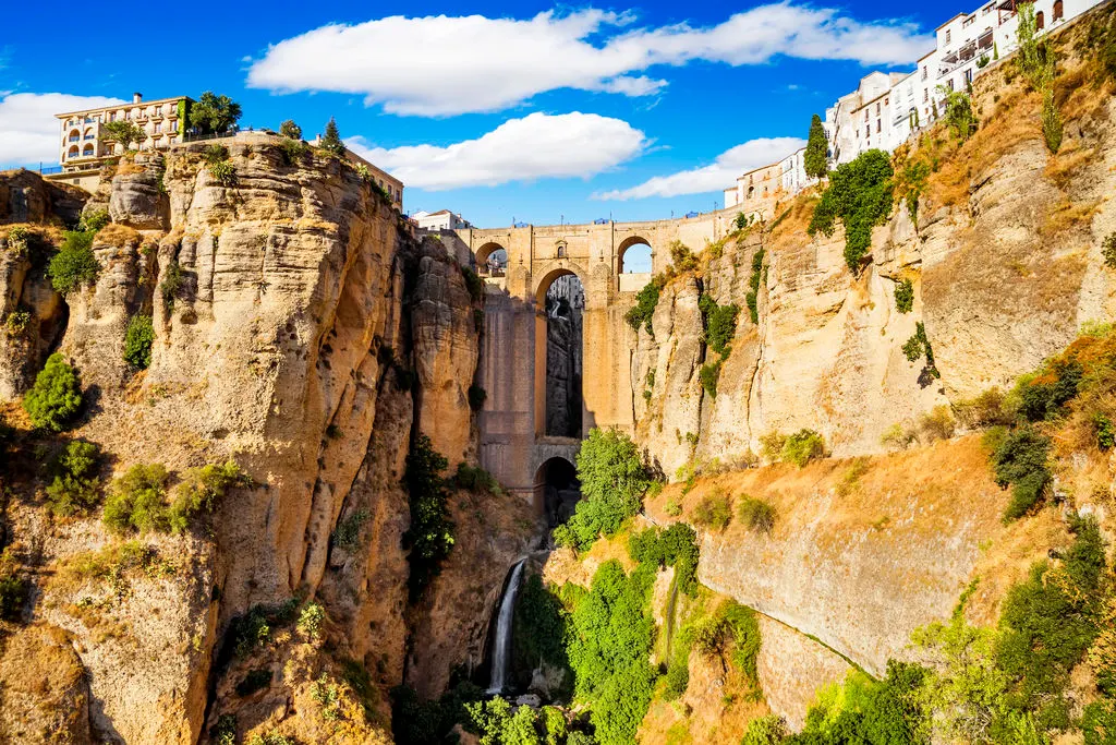
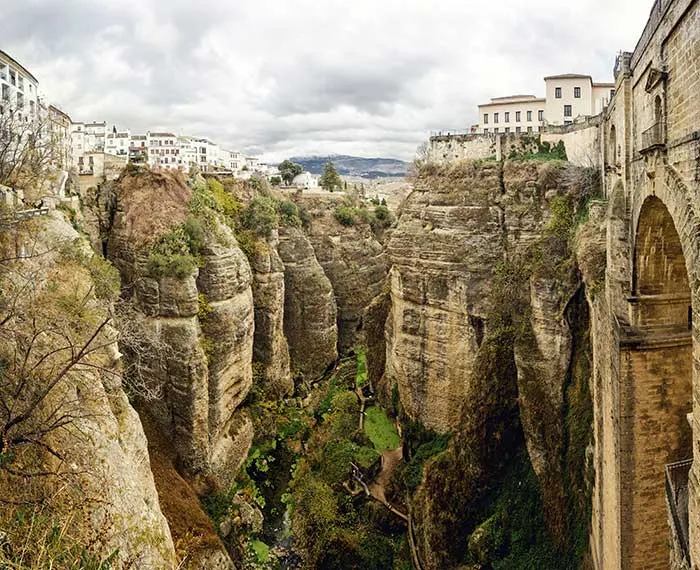
Built between 1751 and 1793, the Puente Nuevo (Ronda, Spain) that joins the two slopes of the pit offers an impressive view of the Guadiaro valley and the Sierra de Grazalema. In Plaza de España you can visit the Puente Nuevo Interpretation Center.
 |
| Puente Nuevo Ronda Spain |
The Puente Nuevo constitutes, together with the Plaza de Toros de la Real Maestranza de Caballería de Ronda, the symbol and soul of the city.
 |
| Puente Nuevo Ronda Spain |
There were two major projects for the realization of this work. The first of the year 1735, reigning Felipe V, which consisted of an arch 35 meters in diameter, and whose works lasted only 8 months, but which was unsuccessful because six years later it collapsed, causing the death of approximately 50 people.
 |
| Puente Nuevo Ronda Spain |
A few years later the works began, specifically in 1751 and ended in May 1793, coinciding with the celebration of the Royal May Fair in Ronda. In total, more than 40 years were invested, being in charge of them the architect D. José Martín de Aldehuela, a native of the Teruel town of Manzanera.
This 98-meter-high masterpiece, built in stone blocks extracted from the bottom of the Tagus gorge, allowed the connection of the modern neighborhood or the Mercadillo with the old quarter of the city and made possible the urban expansion of the city. From their balconies, the views of the houses hanging over the very edge of the precipice are spectacular.
 |
| Puente Nuevo Ronda Spain |
This majestic monument houses in its interior a modern concept of Interpretation Center, on this great work of eighteenth-century engineering and on the different aspects of its environment: fauna, vegetation, geological, urban, historical, etc.
