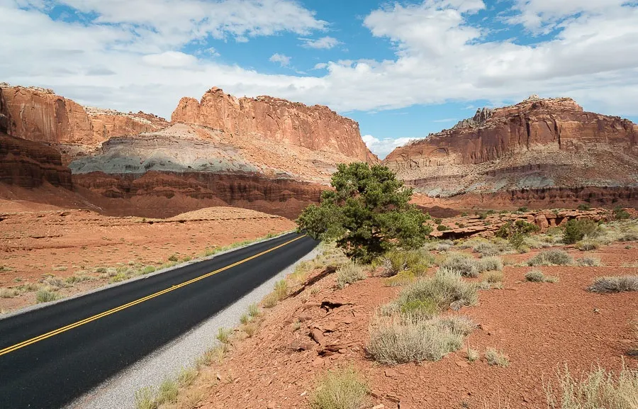
Capitol Reef National Park is located in southern Utah, USA. The park was created in 1971 and is a narrow wall of a sandy monolith.
The total area of Capitol Reef National Park is 979 km², and its length is 160 km. The territory of the park is located in the basin of the Fremont River and consists of winding canyons, lone spiers and a series of massive domes.
 |
| Capitol Reef National Park |
The name of Capitol Reef Park is precisely associated with the landscape. The massive white domes are similar to those of the Capitol, and the numerous rocks and cliffs are very reminiscent of an oceanic reef. It is worth noting that before the arrival of the first settlers, the Indians called this land "The Land of the Sleeping Rainbow " because of the deposits of various igneous rocks.
Capitol Reef National Park and its fauna and flora
The park is inhabited by skunks, bats, badgers, marmots, squirrels, foxes, wolves, as well as mountain lions. The latter, in turn, are dangerous, so each tourist is instructed.
 |
| Capitol Reef National Park |
In the park, there are gardens (cherry, apricot, etc.) that remain from the first Mormon settlers. They are still in good condition, although they have become wild. Tourists who wish to harvest their crops will need to pay a small tax.
Capitol Reef National Park Attractions
The Cathedral Valley is an amazing sandstone monolith.Many monoliths resemble cathedrals and bear interesting names - Temple of the Moon, Temple of the Sun, Walls of Jericho. Several dirt roads provide access to the valley.
 |
| Capitol Reef National Park |
It is most convenient and comfortable to visit Capitol Reef Park from May to September, when the temperature difference is not so sharp.
