 |
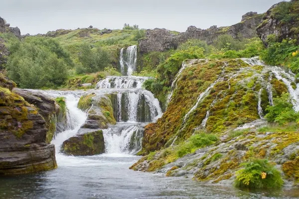
Route 32 runs upriver to a mountain gorge, where the white streams of Iceland's longest River Thjorsa (Þjórsá River), which is the most important source of electricity in the country, rush rapidly. The Þjorsardalur Valley is a natural phenomenon with a stark contrast between dwarf birches and sandy lava fields, rivers and waterfalls, bright green moss and black and red lifeless deserts. Þjorsardalur stretches to the very bottom of the Gjain gorge, which is comparable to a paradise - a miniature landscape with streams and waterfalls, home to Harlequin ducks.
 |
| River Thjorsa Iceland |
At the main car park in the Þjorsardalur valley, there is the Stöng farm, dating back to the time of the first settlements. It was completely buried under volcanic eruptions during the eruption of Hekla in 1104. The long house, built in the 11th century, was excavated by archaeologists, reconstructed and moved to a safe place by road 32. It is the only traditional peat house in Iceland Viking era.
