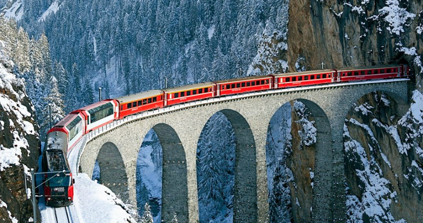
The Bernina Pass is a mountain pass in the Swiss Alps, located in the canton of Graubünden in eastern Switzerland. It is known for its stunning scenic beauty and is part of the Rhaetian Alps. The pass reaches 2,328 meters (7,638 feet) above sea level, making it one of the highest mountain passes in Switzerland.
 |
| Bernina Pass Switzerland |
One of the notable features of the Bernina Pass is the Bernina Railway, which passes through the pass and connects the towns of Thusis in the north and Tirano in Italy in the south. The Bernina Railway is renowned for its breathtaking views and is a UNESCO World Heritage Site.
The pass is also a popular destination for outdoor enthusiasts, offering hiking, skiing, and other alpine activities opportunities. The region around the Bernina Pass is characterized by glaciers, mountain lakes, and picturesque landscapes.
Notably, the Bernina Pass is part of the larger Bernina Range, which includes some of the highest peaks in the Eastern Alps, such as Piz Bernina, the highest summit in the Eastern Alps.
Suppose you plan to visit the Bernina Pass. In that case, it's advisable to check weather conditions and road accessibility, especially during the winter months when the pass can experience snow and challenging driving conditions.
