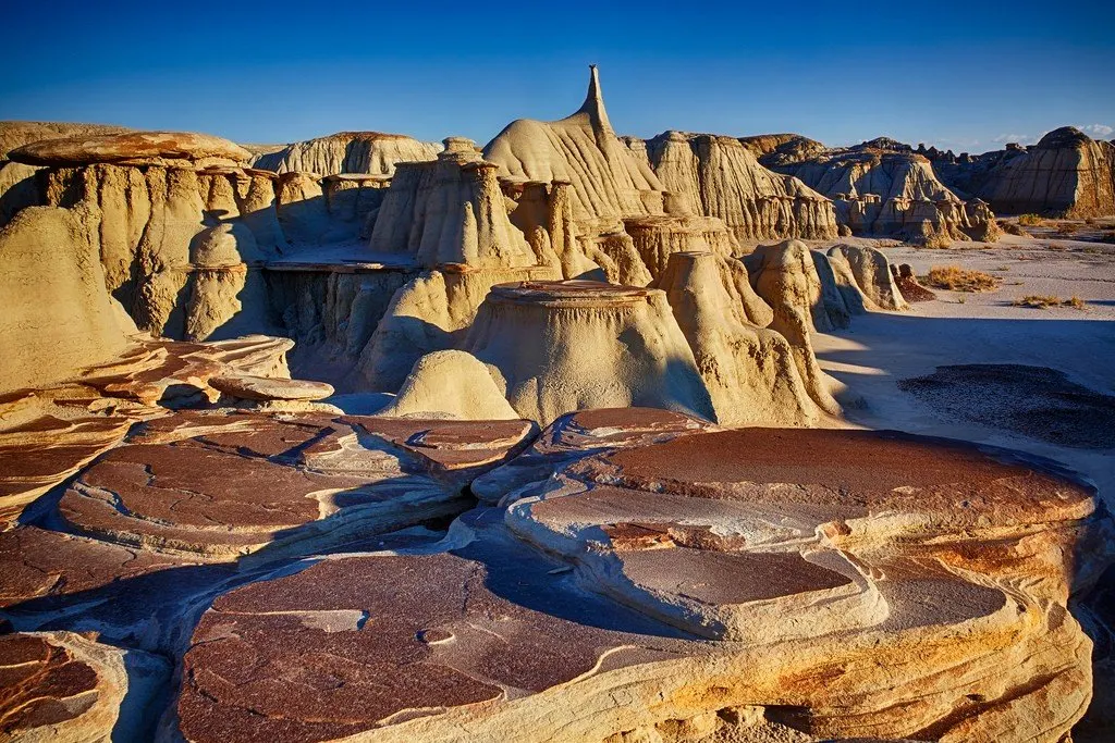
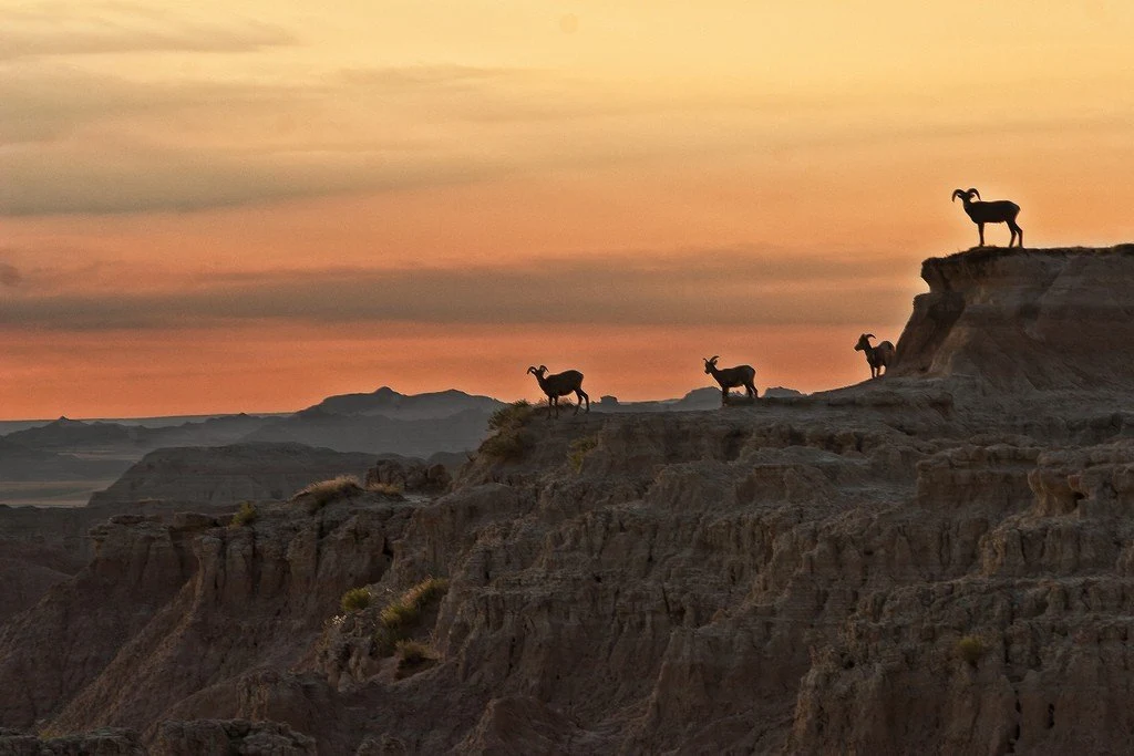
Badlands National Park in southwestern South Dakota is a stunning retreat. From the rugged ridges and sawtooth mountains to the dramatically eroded clifftops and moonlit landscape of Sage Creek, Badlands National Park is a place that never fails to leave an unforgettable impression on visitors.
 |
| Badlands National Park |
General information
The Sioux Indians called this region "Bad Land," and early French-Canadian trappers called this region "Bad Land to Cross" because of the inhospitable terrain, the result of displacement and partial erosion of sedimentary rocks.
The ridges and canyons were formed about 500,000 years ago when water began to penetrate rock layers, creating fantastic shapes. Ancient rocks buried under rocks for more than millions of years were exposed. Erosion rates reach 2.5 cm per year, so another 500,000 years and this landscape will disappear.
 |
| Badlands National Park |
The Badlands is one of the most famous areas where remains of three-toed horses dating back 25-35 million years, dog-sized camels, saber-tooth tigers, giant pigs, and other extinct mammal species have been found.
A tour of Badlands Park will allow you to imagine the geological processes in these places.
 |
| Badlands National Park |
When to go
Spring and autumn are the best times to travel. In summer it is too hot, and in winter it is too cold.
How to get there
The closest airports are in Rapid City and Sioux Falls. There are various routes into the park, including Highway 240, and the Badlands Loop Road, which is a particularly scenic route.
