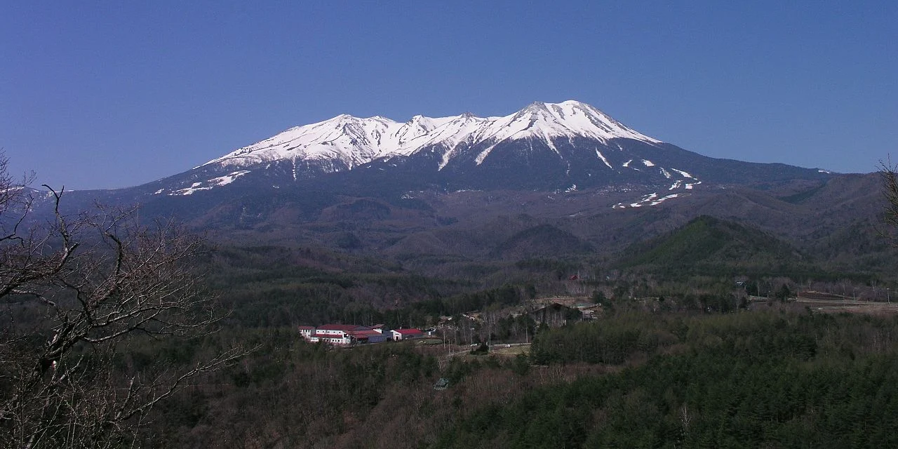
Mount Ontake (御嶽山 Ontake-san) or Ontake-Yama is a complex volcano. Located on the Japanese island of Honshu, on the border of Nagano and Gifu prefectures, 100 kilometers northeast of the city of Nagoya and about 200 kilometers west of Tokyo.
 |
| Mount Ontake |
Japan's second largest volcano. Height - 3067 meters. The slopes are covered with forest. It is a popular tourist attraction. Eruptions It was considered extinct until 1979, when a series of eruptions occurred at the end of October, during which it threw out 200 thousand tons of ash. There were also small eruptions in 1991 and 2007.
Sacred volcano
Mount Ontake is one of the most revered mountains in Japan. Believers and pilgrims have been flocking to it for over a thousand years. Here you can see otherworldly volcanic landscapes, go through ancient paths and make sure that worship of the forces of nature still flourishes here.
 |
| Mount Ontake |
How to get there
If you are going to travel by public transport, it is better to plan your trip carefully.
The closest major station to the mountain trail is Kiso-Fukushima, which is directly connected to Nagano by the JR Shinano Line. From the station, take the bus to Tanohara and get off at the last stop. Please note that buses only run three times a day.
You can also take a bus to Ontake Cable Car Station. It will take you uphill to 2330 meters.
It is interesting
Mount Ontake is the second highest volcano in Japan (3067 meters) and the highest in Nagano.
You can go skiing on its slopes.
After the 2014 eruption, the area within a kilometer radius around the crater is closed to the public. Check availability information when planning your trip
