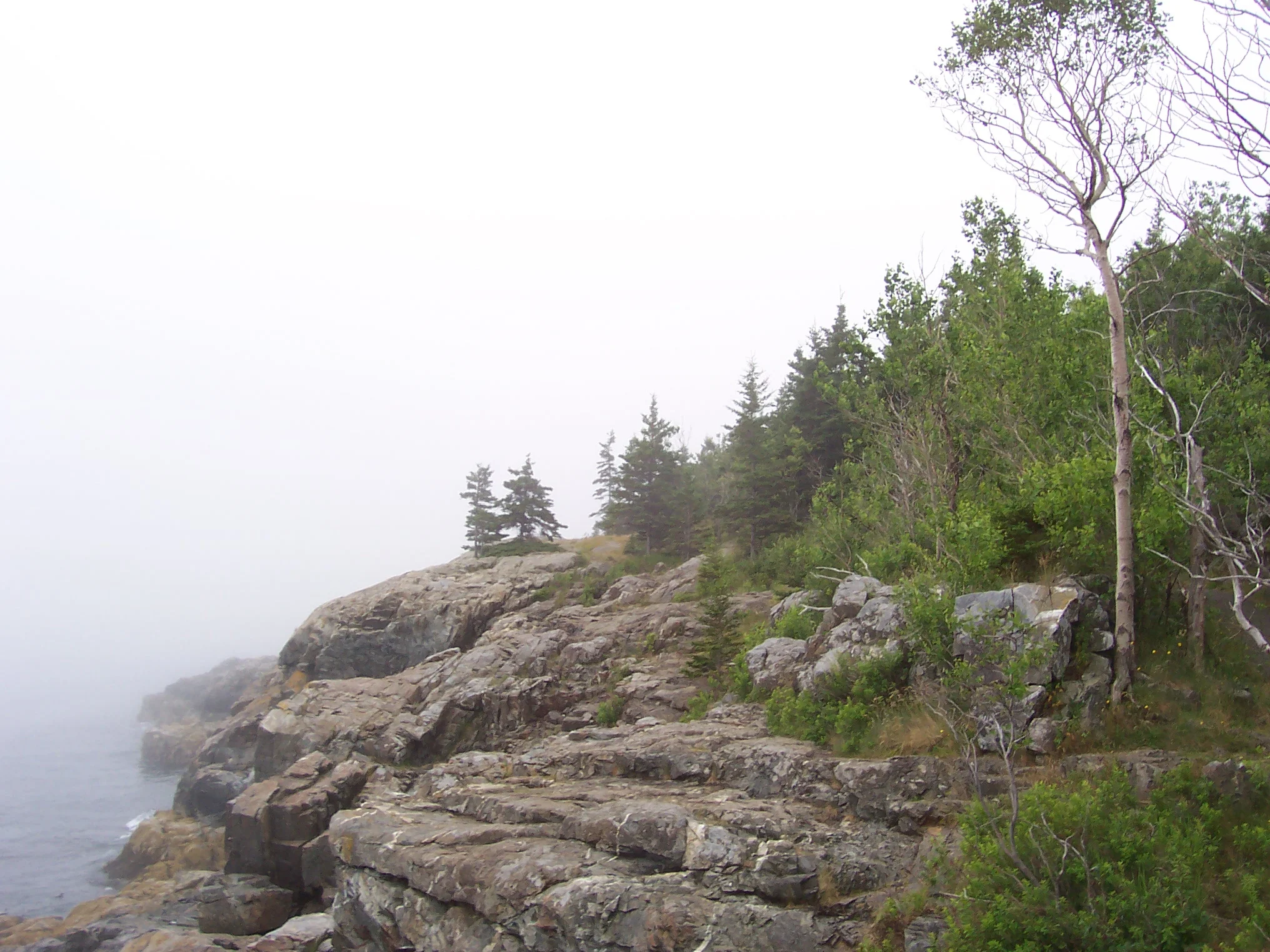
Acadia National Park occupies most of Mount Desert Island and the small island archipelagos of Maine along the Atlantic coast, which was created by the collapse of the mountain range and the melting of the glacier that formed the Gulf of Maine. Most of the coast is solid cliffs, interrupted by rocky and sandy beaches.
 |
| Mount Desert Island Acadia National Park Maine |
The northern part of the territory of the national park is covered with coniferous forests, and closer to the south there are more and more broad-leaved forests: the border between natural zones passes here, but most of the park's land is covered with spruce and pine forests. Unique groves of dwarf oak grow here, which do not grow north of Acadia. The peculiarity of the vegetation of the park is that most of the forest was restored after the fire of 1947, and now it is only about 50 years old.
 |
| Mount Desert Island Acadia National Park Maine |
Mount Desert Island was inhabited by people 6 thousand years ago. When the first European settlers appeared here, the Wabanaki Indians lived here - hunters and fishermen. The French were the first to reach them, who founded a large network of settlements here. The fate of this territory is tragic in many respects: since 1613 the island has been in no man's land between French Canada and English Massachusetts. For a hundred and fifty years, battles were fought for him between European colonists, on the side of which the Indians bribed by them spoke. In 1688, a certain Antoine Lome even tried to establish his own state here. In 1759, the British finally expelled the French from here.
