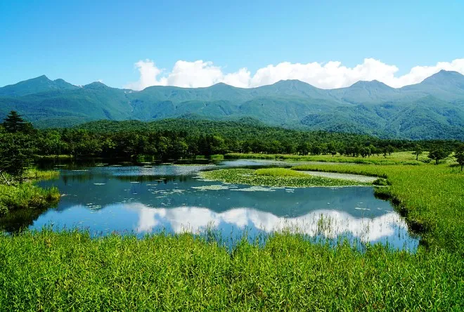
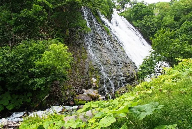
Shiretoko Park is located on the peninsula of the same name in the eastern part of the Japanese island of Hokkaido. It occupies territories from the central part of the peninsula to Cape Shiretoko and the coast of the Sea of Okhotsk.
 |
| Shiretoko Peninsula |
The history of the creation of the reserve
The name of the Shiretoko Peninsula, most of which is occupied by the reserve, in translation from the language of the Ainu people means "end of the earth." This is true, since there are no roads in the north and east of it, so you can only get here on foot or by boat. Shiretoko received the status of National Park in 1964, and in 2005 was included in the UNESCO World Heritage List. A proposal was put forward to attach a number of the Kuril Islands to this nature protection zone and create a Russian-Japanese "Peace Park", but no agreement was reached between the countries.
 |
| Shiretoko Peninsula |
When is the best time to visit?
The park is open all year round, but the best time to visit the Shiretoko National Reserve and explore its wildlife is from June to September. In winter, drifting ice floes can be observed on the coast of the peninsula along the Sea of Okhotsk, and some tourists come here to look at the ice drift.
