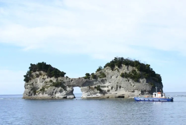
Engetsu Island (Japanese 円月島) is a Japanese offshore island near the settlement of Shirahama. Belongs to Wakayama Prefecture.
 |
| Engetsu Island |
General Information
The Engetsu Island is a bizarre arch created by nature without human intervention. Due to this, it is a frequently visited tourist attraction, especially by amateur photographers and photo artists. Among the most popular images is the motif of the setting sun descending into the sea and passing through the arched "gates". The island arch itself was formed as a result of erosion of rocks caused over many millennia by the action of winds and ocean water, “cutting out” this hole, which gave the name to Engetsu Island itself (in the lane “Full Moon”). In official documents, the island is called Takashima.
 |
| Engetsu Island |
The island is about 130 meters long and 35 meters wide. At low tide, Engetsu Island can be reached on foot. In July 2009, Shirahama Township officials warned visitors to the island about the danger of a possible collapse of the "arch".
