Capitol Reef National Park is the least known of Utah's parks, the younger brother of the so-called "Great Five", which also consists of Zion, Bryce, Arches, and Canyonlands. Capitol Reef is located in central Utah closer to the south, in the very wilderness of the state. And to see it, one must really want to come especially to the kingdom of red rocks, since there is absolutely nothing to do around it. So here you will meet mainly only those travelers who drive a car around the USA on their own.
 |
| Capitol Reef National Park |
Like its famous neighborhood parks, Capitol Reef National Park is unique in its own way. Above all, the fact that a garden grew among its red and white rocks, and at the beginning of the 20th century there was a settlement here, called very simply - Fruta. Also in this park, we saw a large number of monolithic remnants, canyons, domes (stone domes), and stone bridges, which are concentrated in a special area called the Waterpocket Fold, a geological fold in the earth more than 100 miles long. In the article, I will tell you about our trip to Capitol Reef, how to get there and what you should definitely see there, what trails to go to, and where to spend the night near the park.
 |
| Capitol Reef National Park |
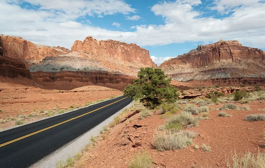
Capitol Reef National Park is located in the heart of Utah's Red Rock Land, but it is located quite far from the usual tourist trails. Despite this, it is popular with anyone who has an irresistible desire to see the geological wonders of Utah: the unique formations for which this state is famous. Capitol Reef National Park is quite long in length - 97 km, but unexpectedly narrow in width - only about 10 km.
 |
| Capitol Reef National Park |
Description
Capitol Reef Park was established in 1971. Before this, the territory was called a national monument (since 1937), and until the 50s it was closed to the public due to the lack of roads. And even before that, the green oasis around the Fremont River was home to Utah Mormons.
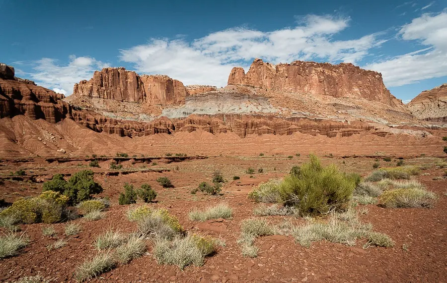
On the one hand, Capitol Reef Park is a seemingly lifeless (but extremely curious from the point of view of geology) landscape of the southwestern United States, and on the other hand, trees are already growing among all these magical rocks. And not just trees, but real orchards!
 |
| Capitol Reef National Park |
But the park itself got its name because of the special domes (domes) made of white Navajo sandstone, which resemble the Capitol. The word “reef” appeared after the local landscape was compared precisely with a barrier reef in the ocean, which is a natural barrier to further travel through these lifeless places.
All this beauty is located at an altitude of 1830 meters to 2740 meters above sea level. The reef called Waterpocket Fold from above reminded me of a similar formation in the Atacama Desert next to the ancient Inca ruins. Although there the barrier reef was much smaller.
