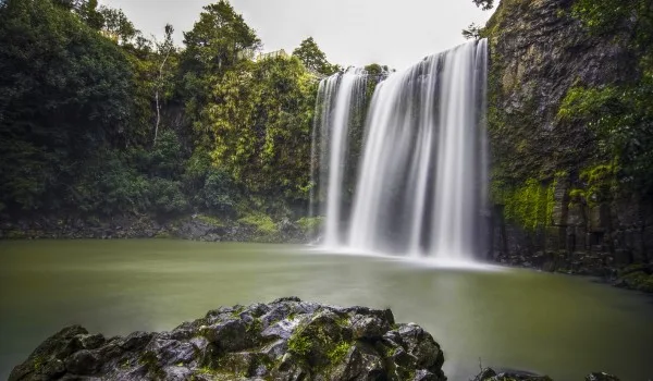
Whangarei is one of the most remarkable cities in New Zealand, known for its many natural attractions. It is located in the central part of the North Island, between wooded hills on the outskirts of a deep bay. One of the most beautiful landscapes on the outskirts of this town is Whangarei Falls. It is located 170 km north of Auckland on the North Island.
 |
| Whangarei Falls Tikipunga |
It was formed in the area known as Tikipunga, where the park of the same name was also built. Whangarei's sources of power are the Waitaua and Mangakino streams that run through the park and finally form a beautiful waterfall.
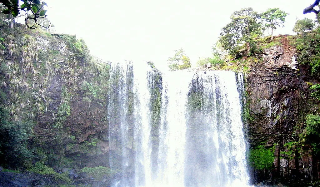
Whangarei Falls water flows into a deep pool of water, around which are rocks covered with moss and ivy, 26.3 m high. The waterfall formed steep basalt cliffs. At the top of Whangarei there is a beautiful and spacious clearing which is a popular place for picnics as well as various outdoor activities.
 |
| Whangarei Falls Tikipunga |
Until 1946, the waterfall itself and the land around it were private property, but have since been developed as a public tourist attraction.
In 1920, Dr. Archibald Clapham purchased the property and converted it into a commercial mill. When Whangarei was declared a public property, by signatures of local residents, in the middle of the last century, it is one of the favorite places for walking and relaxing for citizens. There are all necessary facilities such as toilets, places to eat.
 |
| Whangarei Falls Tikipunga |
The walk at the very bottom of the Whangarei Falls passes through two steep paths, on both sides of the natural formation. An observation deck has been built at the top of Whangarei, but the view from the base of the falls is unparalleled.
Whangarei Falls is easily accessible via the main road from Tikipunga off the Tutukaka Coast. There is a fenced parking lot.
