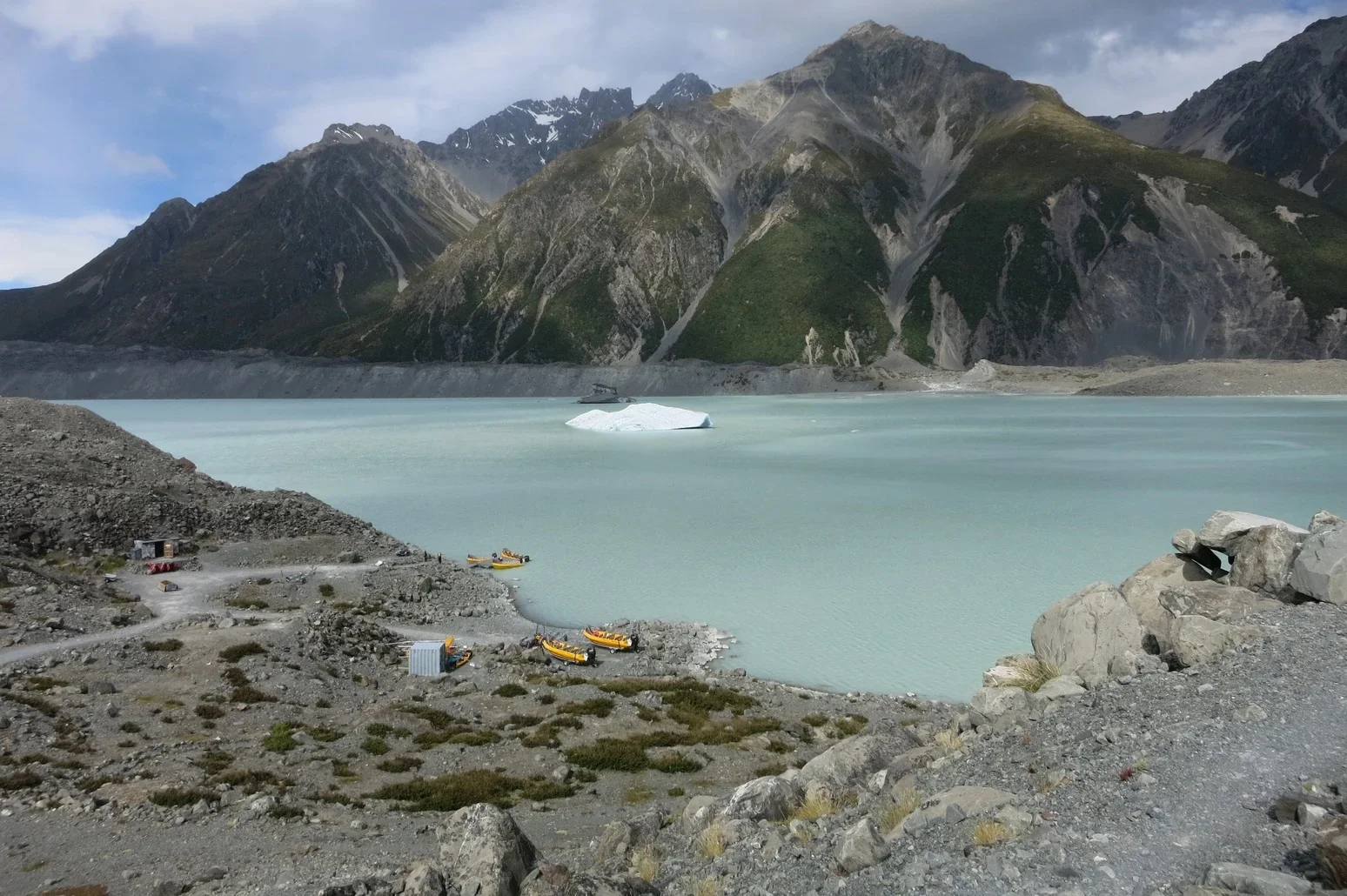
Tasman Lake is a proglacial lake formed by the recent retreat of the Tasman Glacier in New Zealand 's South Island.
Tasman Lake, located in the Southern Alps at an altitude of more than 700 meters above sea level in Mount Cook National Park, got its name from the eponymous glacier - the largest in New Zealand (the length of the glacier is 29 km, the ice thickness in the main trunk reaches 600 meters). The lake was formed in the late 90s of the last century due to the acceleration of the ice melting process.
 |
| Tasman Lake New Zealand |
Even if you are traveling on your own, the excursion to the glacial lake is carried out as part of a group, which is formed before boarding the bus that takes the group to the lake. The path to the lake stretches along the moraine - flat areas covered with rock fragments.
 |
| Tasman Lake New Zealand |
In the early 1970s, there were several small meltwater ponds on the Tasman Glacier. By 1990 these ponds had merged into Tasman Lake.
Tasman Lake has accelerated the retreat of the Tasman Glacier. It initially did this by undermining the cliff at the end of the glacier, causing parts of the cliff to fall into the lake. However, since 2006, a 50–60 m (160–200 ft) shelf of submerged glacial ice projects from the cliff, and icebergs periodically break off the shelf and float down the lake. Because more of the glacier is now in contact with the water, its rate of retreat has increased. In 2008, the lake was about 7 km (4 mi) long, 2 km (1 mi) wide, and 245 m (800 ft) deep, having nearly doubled in area since 2000. It is expected to grow to a maximum length of approximately 16 km (9.9 mi) in the next one or two decades.
