Caucasian Mountains
Mountains are highly elevated, highly dissected landforms with large elevation changes. There are many mountainous countries on the globe, their height is always more than 500 m. Mountains are divided into low, medium and high. The systems are of different ages. They are formed by mountain ranges, between which there are intermountain basins or high mountain plateaus. One of the famous mountainous countries is the Caucasus.
 |
| Caucasus Mountains |
Geographical Position
The Caucasus Mountains are located on the Eurasian continent, in the southwestern part of the continent. The border between Asia and Europe is drawn along the Caucasus.
In which countries the mountains are located, two maps help to determine: physical and political. It is necessary to use the technique of mental imposition of one card on another. The mountains are located on the territory of several states:
- Russia;
- Georgia;
- Armenia;
- Azerbaijan;
- Abkhazia;
- South Ossetia;
- Nagorno-Karabakh Republic.
The mountains stretch from the Black Sea to the Caspian Sea, from the northwest to the southeast. The length, or length, of the mountains is 1000 km. To the north is the Russian Plain. The greatest width of the mountains is about 180 km.
 |
| Caucasus Mountains |
Allocate the Greater and Lesser Caucasus. The mountainous countries are connected by the Likhi Range. The Lesser Caucasus stretches for 600 km, has a slight glaciation, compared to the Greater Caucasus, lower altitudes.
Characteristics of a Mountainous Country
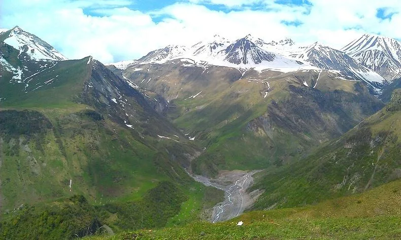
The Caucasus Mountains belongs to the group of high mountains, that is, above 2000 m. It is convenient to determine the average height on a physical map using the height scale. According to it, the heights of the system are from 3000 to 4000 m.
The highest peak is Mount Elbrus. The absolute value is 6542 m. The coordinates of the peak are 43 º s. sh. and 42 º in. d.
 |
| Caucasus Mountains |
The lowering of the relief of the mountainous country occurs towards the Russian Plain from the north and towards the highlands from the south. In the central part is the main watershed ridge.
Rivers and Lakes of the Caucasus
In the mountains there is a large lake Sevan. Numerous rivers originate in the ranges. Kuma, Kura, Terek flow into the Caspian Sea. The Kuban flows into the Sea of Azov. Kodor and others - to the Black Sea.
The highest waterfall in Russia is located in the Caucasus Mountains.
A detailed description of the Caucasus Mountains is considered in messages and reports at geography lessons. They can indicate the age of the mountains: the Caucasus is classified as a young country that has risen to the Alpine folding. This fact suggests that the processes of mountain building have not yet been completed. There are earthquakes here. Extinct and dormant volcanoes are located.
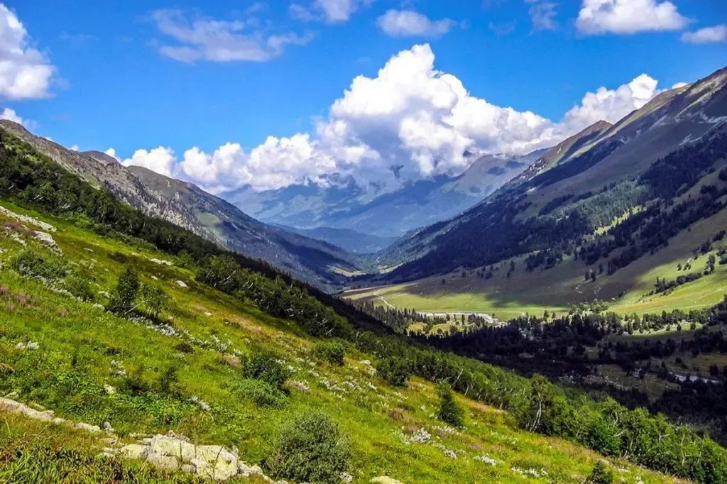
The NTC of the Caucasus (Natural Territorial Complex) is very complex and interesting to study. High mountains are characterized by a variety of altitudinal zones. At the foot of the western slopes are subtropical forests, with height they are replaced by steppe areas, forests, alpine meadows and glaciers.
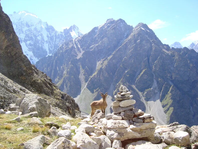
There are glaciers on the tops of the mountains, despite the southern position. The most significant glacier is Bezengi, its length is 17 km. Glaciers, melting in the summer, feed the mountain rivers.
 |
| Caucasus Mountains |
The Caucasus Mountains are a climate divide. They prevent the penetration of air masses from north to south and vice versa.
There are numerous springs of mineral waters in the mountains. Resorts and hospitals were created on their basis.
