 |
| Daniel Boone National Forest |
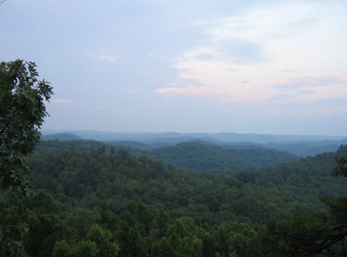
Daniel Boone National Forest is divided into six districts, with five of these districts - from north to south these are Morehead, Stanton, London, Somerset and Stearns - forming a contiguous area. The sixth is the Redbird District, which was purchased in 1965 and is a separate district to the east of the other districts. With a combination of wildlife on the one hand and a well-developed tourist infrastructure on the other, the national forest is a popular destination for hikers and, with over 5,000,000 visitors annually, is one of the most visited forests in the southern United States. Among other things, it offers numerous opportunities for recreation and entertainment for vacationers, hikers, climbers, fishermen and hunters.
 |
| Daniel Boone National Forest |
Daniel Boone National Forest Location
The Cumberland Plateau is covered with forests, both deciduous and coniferous, including the Daniel Boone National Forest, named after the famous pioneer who explored Kentucky in the late 18th century. The Daniel Boone Forest is one of the state's tourist attractions, with many caves, beautiful lakes, gorges and hiking trails.
