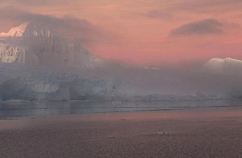
Anvers is the largest island in the Palmer archipelago.
 |
| Anvers Island |
Located off the northwest coast of the Antarctic Peninsula, southwest of Brabant Island. It is approximately 74 km long and 55 km wide. The area of the island is 2432 km². The highest point of Anvers Island is Mont-Français, which is 2761 m above sea level. 1 km off the south coast of Anvers is the small islet of Cormorant, which is an Important Bird Area.
 |
| Anvers Island |
The coast of Anvers Island off the Antarctic Peninsula seems like a magical fairy-tale landscape. Winter twilight bathes the sea and snow-capped mountains in the background with an unrealistic red light.
