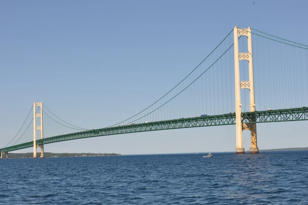
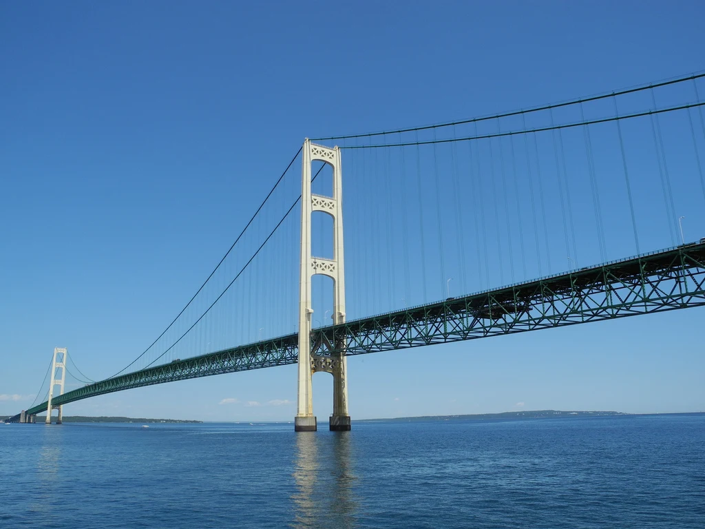
Mackinac Bridge is a suspension road bridge across the Strait of Mackinac with a central span of 1158 m, and a total length with approaches of 8038 m, connecting the city of St. Ignace to the north with the village of Mackinaw City to the south, USA.
 |
| Mackinac Bridge |
The construction of the bridge cost $95 million (2019 equivalent - $708 million). Speed limit: 45 mph (72 km/h) for cars, 20 mph (32 km/h) for heavy trucks. Heavy trucks must also leave 500 feet (150 m) ahead.
 |
| Mackinac Bridge |
Description
And in this case, we are referring to the well-known Mackinac Bridge, located between the cities of Mackinac and Saint Ignace in Michigan, United States, crossing the Strait of Mackinac in the Great Lakes region. And in this sense, the design was assigned to the firm Robinson & Steinman -old engineering firm, starting the project in 1954; hand in hand with a North American construction company called American Bridge Company - an industrial firm specializing in the manufacture, erection and rehabilitation of large-scale bridges.
