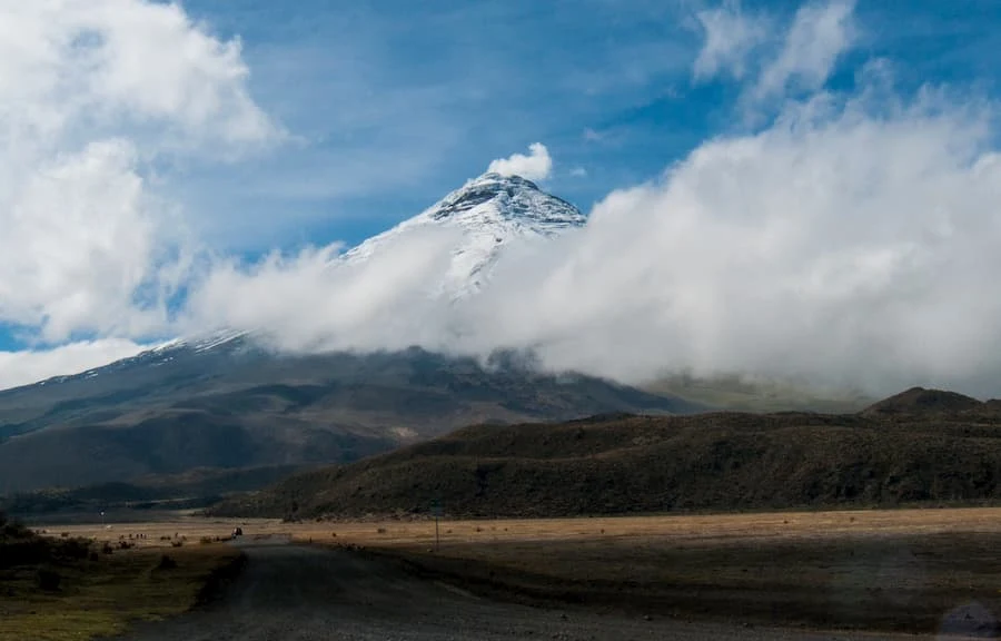
Cotopaxi is one of the most famous volcanoes in South America and one of the most active. At 5,911 meters it is also among the highest active volcanoes in the world (26th highest).
The steep cone of Cotopaxi has nested summit craters, the exterior of which measures 550 x 800 m in diameter.
 |
| Cotopaxi Volcano |
The majestic symmetrical snow-covered stratovolcano is located in the Eastern Cordillera of the Ecuadorian Andes, 60 km south of Quito and 35 km northeast of Latacunga.
The Cotopaxi has erupted more than 50 times since 1738. The most violent historical eruptions of the Cotopaxi volcano were in 1744, 1768, 1877, and 1904. Its eruptions often produced destructive pyroclastic flows and mudflows (lahars). Some lahars have traveled more than 100 km and have reached the Pacific to the west and the Amazon basin to the east.
 |
| Cotopaxi Volcano |
At the moment, it has been inactive for more than 70 years, which is a long and unusual interval in its recent history.
Cotopaxi Volcano Activity
The Cotopaxi has often produced sediment flows during eruptions that melt snow on the upper flanks. These flows or lahars, have caused very deep valleys in all directions, from the top of the andesitic volcano. These valleys alternate with large andesitic lava flows that extend to the base of the volcano.
 |
| Cotopaxi Volcano |
The modern stratovolcano was built on the scar left by a large avalanche of debris that destroyed a very old construction about 5000 years ago.
A rare high-altitude hummingbird (Oreotrochilus chimborazo) has been found to live on the slopes of Cotopaxi between 4,000 and 4,500 meters where it nests in protected cliffs.
