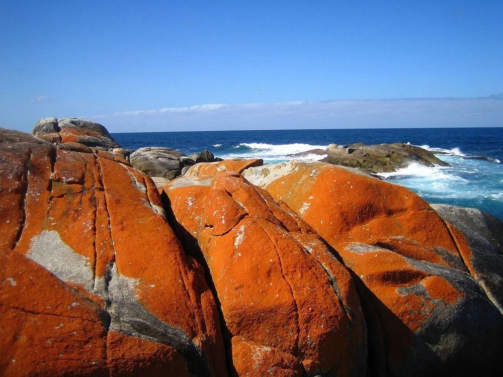
Bay of Fires, on the northeast coast of Tasmania, Australia, is a large bay that stretches for about 30 kilometers in Binalong Bay, south of Eddystone Point.
The bay was named "Bay of Fires" by the British navigator and explorer Captain Tobias Furneaux, in 1773, when he observed numerous fires along the coast, which led him to believe that the country was densely populated. Evidence of Aboriginal settlement can still be seen along the coast.
 |
| Bay of Fires Tasmania |
The Bay of Fires is characterized by white sand beaches, blue waters and huge blocks of bright orange granite with lichens. And who know? Perhaps Captain Tobias Furneaux named the bay in such a way after seeing these red rocks of similar hues to fire.
 |
| Bay of Fires Tasmania |
Lichens are a combination of algae and fungi that live together in a symbiotic relationship. The algae provide food through photosynthesis, while the fungus provides a protected environment for the algae.
This combined life form has properties that are very different from the properties of its component organisms. Lichens are classified by their fungal component and are given the same scientific name as the species of fungus in the lichen, regardless of the algae that lives in the fungus.
 |
| Bay of Fires Tasmania |
The lichens responsible for the orange hue in the rocks of the Bay of Fires belong to the Hymeneliaceae family. The color is contained in its thallus, which is the vegetative part of the body.
Lichens are grouped by type of thallus, as the thallus is usually the most visually prominent part of the lichen. In some lichens, the thallus is difficult to distinguish. As a result, many lichens remain unclassified.
 |
| Bay of Fires Tasmania |
Aside from lichens, there is a wealth of local wildlife to discover throughout the bay area, including birds, corals, and the rich marine diversity that the reefs attract.
