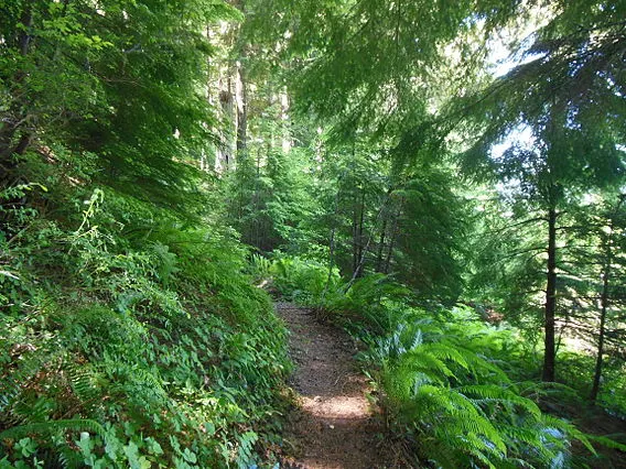
Umpqua National Forest, in southern Oregon 's Cascade Range, covers an area of 983,129 acres (3,978.58 km 2 ) in Douglas, Lane, and Jackson Counties and borders Crater Lake National Park . The four Forest Ranger Districts are Cottage Grove, Diamond Lake, North Umpqua and Tiller Ranger Districts. The forest is managed by the Roseburg- based United States Forest Service.
 |
| Umpqua National Forest |
History
Ancestors of the Umpqua, Del Sur Molala, Yoncalla, and Cow Creek Band of the Umpqua Indian tribe lived here before Mount Mazama erupted forming Crater Lake nearly 7,000 years ago. The Indians were moved to reservations in 1856. As Europeans bought reserve land, the tribes further fragmented to become farmers and ranchers in the Umpqua Valley. Two translations of the word "umpqua" are "thundering waters" and "across the waters." [4]
The Umpqua National Forest was created by the United States Congress on July 2, 1907. Forest Service personnel soon began building trails, bridges, putting out fires, monitoring grazing, and erecting overlooks. Logging and mining began in 1925. The Civilian Conservation Corps was active in the Umpqua National Forest building roads, bridges, and recreational facilities in the 1930s.
Umpqua National Forest Map
