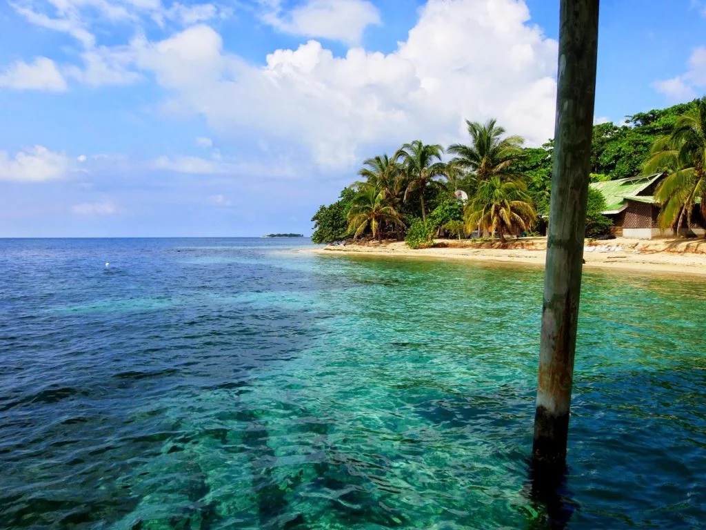
Detailed information about the attraction. Description, photographs and a map showing the nearest significant objects. The name in English is Wakatobi National Park.
Wakatobi National Park is a marine conservation park located in the southern part of Sulawesi. The name of the park - Wakatobi - is an abbreviation that is formed from the names of the first letters of the four main islands of the Tukangbesi archipelago (Tukang-besi) - Vangi-Vangi, Kaledupa, Tomia and Binongko.
 |
| Wakatobi National Park |
The Tukangbesi Archipelago consists of 25 islands and volcanic and coral reefs. It is worth noting that the archipelago is known for its coral reefs and was declared a Marine Protected Area in 1996. Wakatobi National Park was inscribed on the UNESCO World Heritage List in 2005, and in 2012 - on the World Network of Biosphere Reserves.
 |
| Wakatobi National Park |
A more precise location of the park is in the southeastern part of the Sulawesi island. In addition to the four large islands, the national park also includes small islands. In total, Wakatobi National Park includes 143 islands. All of them are inhabited, except for seven islands. The population is approximately one hundred thousand people.
 |
| Wakatobi National Park |
The national park is the third largest marine park in Indonesia. The famous explorer of the deep sea, Jacques Cousteau, called this park "underwater nirvana". The territory of the National Marine Park is 1.4 million hectares, 900 thousand hectares of which are coral reefs of different types and colors. In addition, the islands are famous for their largest barrier coral reef in Indonesia - second only to the Great Barrier Reef in Australia. In addition to reefs, the park is known for the largest number of fish species in its territory. Dolphins, turtles and even whales also live in the waters.
