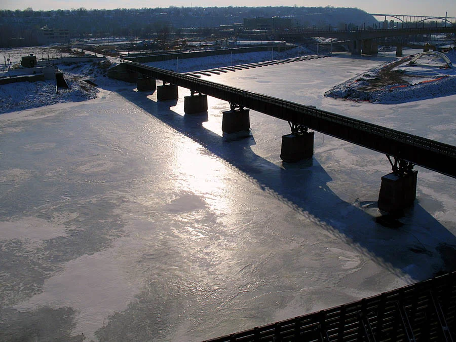
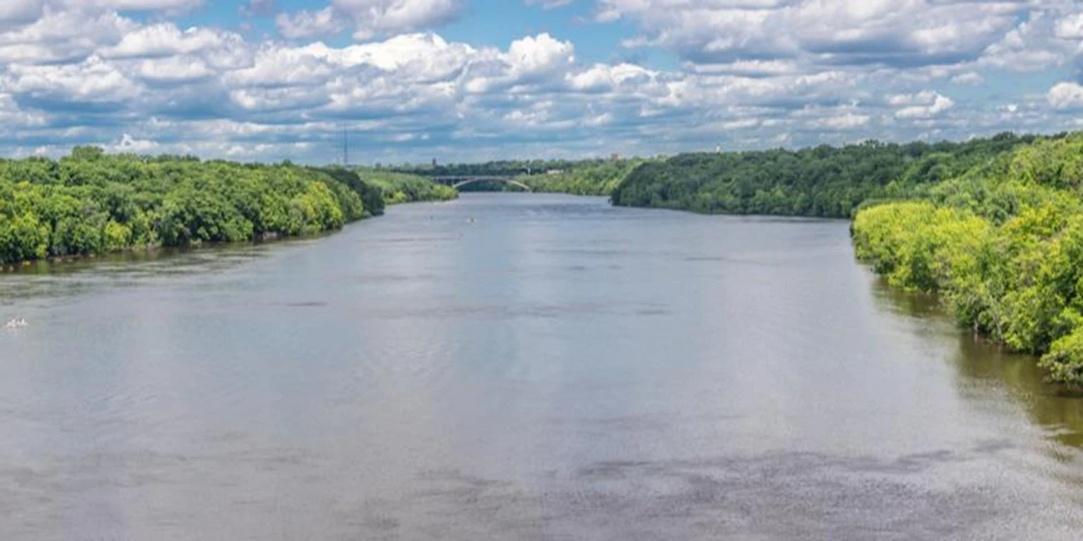
Mississippi River (Mississippi; in one of the Algonquian languages - "big river"), a river in the United States, one of the greatest rivers in the world. Length 3766 km (from the source of Missouri - 5971 km, the third longest river in the world), pl. basin 3300 thousand km 2... It originates from a small lake. Itasca (Aitasca nature reserve) at the height. 450 m, crosses the territory of the country from north to south, flows into the Mexican Hall. Atlantic approx.
 |
| Mississippi River |
The river basin is entirely located within the Central and Great Plains, from the west it is bounded by the Rocky Mountains, from the east - by the Appalachians, from the north - by the edge of the Laurentian Upland. Main tributaries: Minnesota, Iowa, Des Moines, Missouri, White River, Arkansas, Red River (right), Black River, Wisconsin, Rock, Illinois, Cascaskia, Ohio, Hutchi, Yazu, Big Black River (left ).
By morphological. the structure of the valley and hydrological. under the M. regime is divided into the Upper Mississippi and the Lower Mississippi. The Upper Mississippi (from the source to the confluence of the Ohio River) flows through swampy, covered with numerous. wooded lakes; there are many rapids and rocky rifts in the channel, the most significant of which are located near the cities of Minneapolis and Saint Paul (Saint Anthony Falls). Below the waterfalls it flows into a gorge with steep limestone slopes.
 |
| Mississippi River |
The Upper Mississippi is regulated by numerous. dams, from Minneapolis and St. Paul to the confluence of the Missouri, 29 dams and locks have been built. Below the confluence of the Missouri, the muddy, dirty-brown water of this tributary flows for 150-180 km into M. in the same channel next to a relatively clear stream. The Lower Mississippi (from the Ohio estuary to the sea) flows over a vast plain, composed of alluvial deposits, the width of the valley gradually increases downstream from 25 to 70-100 km; the river bed is meandering, with numerous. sleeves and elbows. The Lower Mississippi is unregulated.
Almost throughout the entire area, the channel is bordered by nature. coastal ramparts, reinforced to protect against floods by the arts system. dams. sleeves and elbows. The Lower Mississippi is not regulated. Almost throughout the entire area, the channel is bordered by nature. coastal ramparts, reinforced to protect against floods by the arts system. dams. sleeves and elbows. The Lower Mississippi is not regulated. Almost throughout the entire area, the channel is bordered by nature. coastal ramparts, reinforced to protect against floods by the arts system. dams.
At the confluence with the Mexican Hall. M. forms an extensive delta (area 23.9 thousand km 2). The top of the delta is located above the city of Baton Rouge, at the point of separation from the river to the right of the short channel of the Old River, which connects with the river. Red River. The channel network of the delta consists of two mains. branches - left, main Mississippi (extension of the river within the delta, length approx. 515 km) and right (approx. 220 km), consisting of the Old River channel and the Atchafalaya branch.
 |
| Mississippi River |
The left arm flows into the open deep part of the Mexican Gulf, breaking up into a number of large arms and small streams within the present-day. Baliz delta (bird's foot). Main coastal arms (from west to east) - South-West, South, Lutr. The width of the watercourses in the Baliz delta varies from several meters to 1 km, the depth from 1 to 30 m. the depth at the mouth bars of the branches is usually less than 3 m. The right branch of the delta flows through a system of lakes (Grand Lake, Six-mile, etc.). In addition to the currently active deltaic branches, the remains of ancient channels, the so-called. bayu (small watercourses with a very slow flow, often overgrown with vegetation). There are many lakes in the delta (Morepa, Pontchartrain, Salvador, etc.).
An important part of hydrographic. delta networks - wetlands. often overgrown with vegetation). There are many lakes in the delta (Morepa, Pontchartrain, Salvador, etc.). An important part of hydrographic. delta networks - wetlands. often overgrown with vegetation). There are many lakes in the delta (Morepa, Pontchartrain, Salvador, etc.). An important part of hydrographic. delta networks - wetlands.
 |
| Mississippi River |
Food is mixed, snow and rain. Right tributaries bring preim. melt water (the result of snow melting in the Rocky Mountains), left - feed M. in the main. rainwater. The river regime is characterized by spring-summer floods and low autumn-winter low-water periods. Heavy rainfall floods are frequent, the highest of which are formed when snow melts coincide in the basins of the Upper Mississippi and Missouri and heavy rains fall in the Ohio basin. Severe floods are frequent in the M. basin, the most destructive in 1927 (an area of about 600 thousand km 2 was flooded ). In 1993, the tributaries of M. - Missouri, Illinois, Des Moines, and Wisconsin flooded the banks (60 thousand km 2 were floodedlands).
 |
| Mississippi River |
Wed long-term water consumption for hydrological at the Vicksberg post (about 750 km from the bay) is 15980 m 3 / s (the annual runoff is 504 km 3 ). In the seasonal fluctuations of water runoff, high-water (spring-summer flood in February – June) and low water (low water in July – January) periods are well distinguished, which account for 59.5 and 40.5% of the annual runoff, respectively. The most abundant months are April (14.3% of the annual runoff), May (12.6%) and March (12.4%), the most dry months are September and October (4.1% of the annual runoff). Max. average monthly water discharges (52-54 thousand m 3 / s) are observed in February, April and May, minimal (approx. 2900 m 3/ s) - in October. Within the delta, M. takes supplementary. runoff of the Red River and out into the Mexican Hall. on Wednesday. 582 km 3 / year.
A number of large dams and reservoirs were built on the tributaries of the Missouri (in 1953–67) and Arkansas (in 1963–70), which led to a twofold decrease in the runoff of suspended sediments at the mouth (since these tributaries have increased water turbidity). In the end. 19th century it was approx. 500 million tons / year, in the 1st half. 20th century - OK. 400 million tons / year, in con. 20th century - 210 million tons / year.
The average value of the tides on the coast of M. is 0.43 m. Despite their small value, the tides along the Mississippi arm, which has very small slopes of the water surface, extend to a distance of 400 km from the bay. Saline waters during the tidal phase during low-water periods can spread at the bottom for a distance of up to 240 km. On the coast of the delta, tropical sometimes collapse. hurricanes accompanied by stormy winds, strong waves, surge in water levels. Among the most severe were hurricanes Betsy (1965), Camilla (1969), Frederick (1979), Katrina (2005). During Hurricane Katrina in the lower reaches of the Mississippi arm, the magnitude of the surge exceeded the height of the protective dams (approx. 7 m), in many places they were broken, most of New Orleans was flooded; in Louisiana, approx. 1600 people By many estimates, this hurricane is the largest of all natures. a disaster in US history.
 |
| Mississippi River |
M. is an important transport artery of the country. River navigation is carried out from the mouth to Minneapolis and St. Paul, ocean-going vessels rise through the deep Southwest. sleeve and further along the Mississippi sleeve to Baton Rouge. The Coastal Canal runs across the delta, connecting the ports of the coast of the open part of the Atlantic approx. and the Mexican Hall. M. is connected to the basin of the Great Lakes and the river. St. Lawrence Illinois Waterway.
There are 241 fish species in the waters of the river basin. The embankment and straightening of the Lower Mississippi channel, as well as deforestation and drainage of floodplains to expand agriculture. lands led to the destruction of 80% of flooded meadows. Runoffs from the village - x. lands caused pollution of river waters with pesticides and toxic substances, oxygen deficiency and eutrophication of a number of streams and reservoirs. M. (downstream) contains major cities and ports such as Minneapolis, St. Paul, Davenport, St. Louis, Memphis, Baton Rouge, and New Orleans.
The first europ. expedition under the command. E. de With something achieved in the present-day MA area. the city of Memphis in 1541 and went down to the mouth; the Spaniards called it the River of the Holy Spirit.
