 |
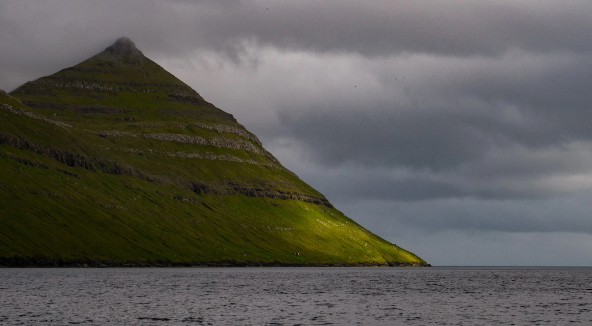
Kalsoy Island is one of those places in the Faroe Islands that I really wanted to visit. Even in the preparation phase, the impressive photographs of sheer cliffs and narrow paths with bottomless cliffs on both sides gave me a mixed sense of admiration and dread. But in the struggle of the photographer with the instinct of self-preservation, the first one won this time, so I was looking forward to the trip to Kalsoy Island with special impatience.
 |
| Kalsoy Island |
You can get to Kalsoy Island by ferry from the town of Klaksvík. The trip is short - only 20 minutes, which fly by unnoticed in constant running from one side to another and photographing the most beautiful landscapes around. The ferry never sets out on the open sea, so even seasick travelers shouldn't be inconvenienced. Departure times depend on the day of the week, check the schedule here. You can also take a car on the ferry, which is very useful, since it is more convenient to explore Kalsoy by car. There is a bus service on the island, but buses are rare, which significantly limits freedom of movement.
 |
| Kalsoy Island |
Unfortunately, it is impossible to buy a ferry ticket in advance, travel is paid on board (the price for two people and a car there and back was, if I am not mistaken, 200 Faroe crowns). Everything would be fine, but the boat is small enough and can accommodate about 15 cars, so if there are a lot of people who want to cross, then you may not get on board.
 |
| Kalsoy Island |
In our case, it happened - although we arrived 25 minutes before departure (for the morning flight at 10:00), we were only the 17th or 18th car in the queue. Fortunately, even after our arrival, the queue continued to grow, so the management of the ferry decided to organize an additional trip as soon as the ship returned. True, in the end we still lost a whole hour waiting for the ship to reach Kalsoy Island, unload, submerge and return. So in high season it is better to arrive at the port in advance.
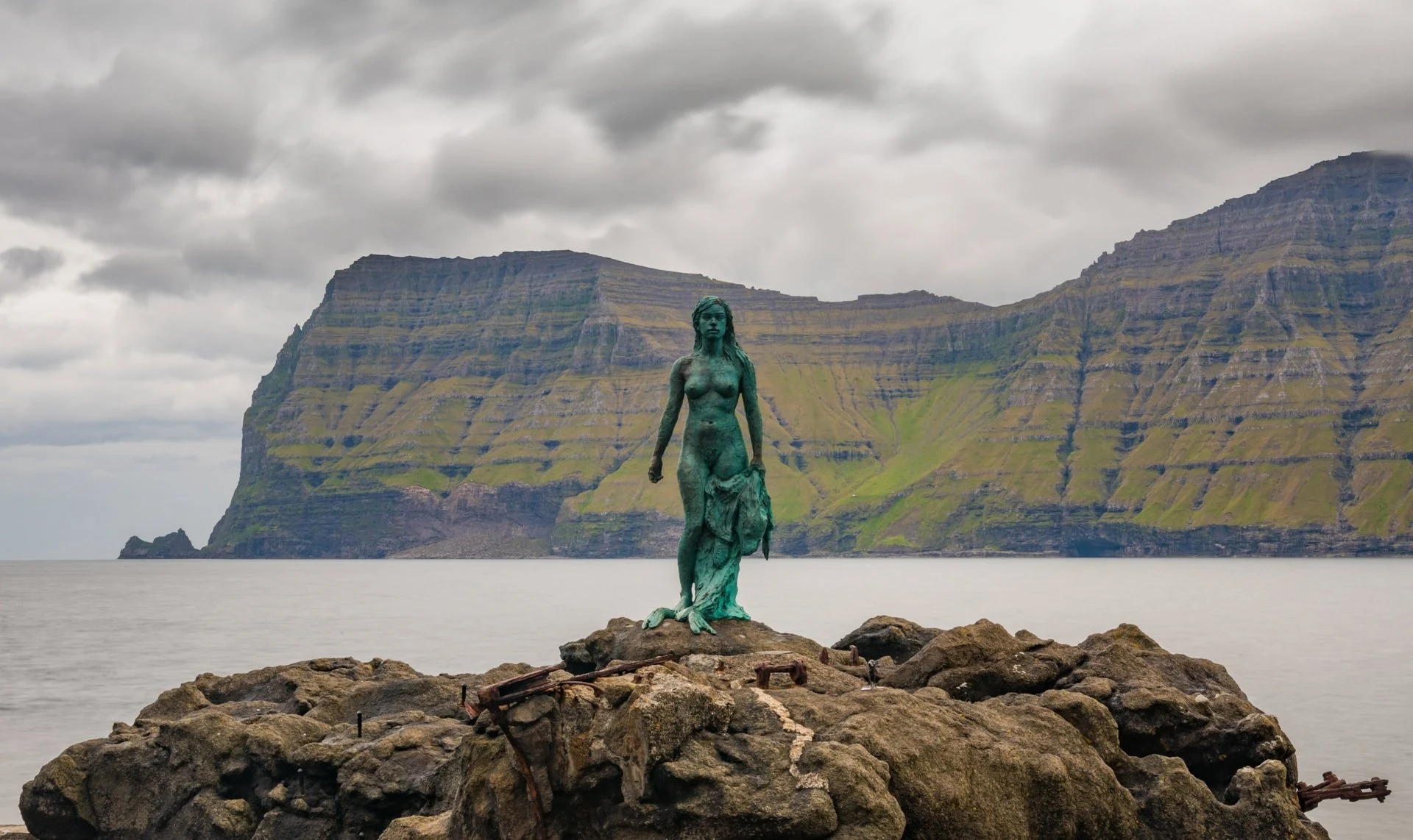
It is almost impossible to get lost on Kalsoy Island. The most stunning views are from the northern tip of the island, where the Kallur lighthouse is located. A hiking trail from the village of Trøllanes leads to it. There is only one main road on the island, which runs from south to north, and if you just follow it to the end without turning anywhere, you will arrive directly at Trollanes. The only stop I recommend along the way is the village of Mikladalur, famous for the Kópakonan (seal woman) statue and accompanying legend.
There isn't much else to do in Mikladalur. We planned to wait out the rain there, which has been pouring continuously since our arrival in Kalsoy Island, but, alas, the town is very small, and we never found a single cafe. So after taking a few pictures of the statue, we decided to move on, hoping that the bad weather would still subside by the time we get to Trollanes.
 |
| Kalsoy Island |
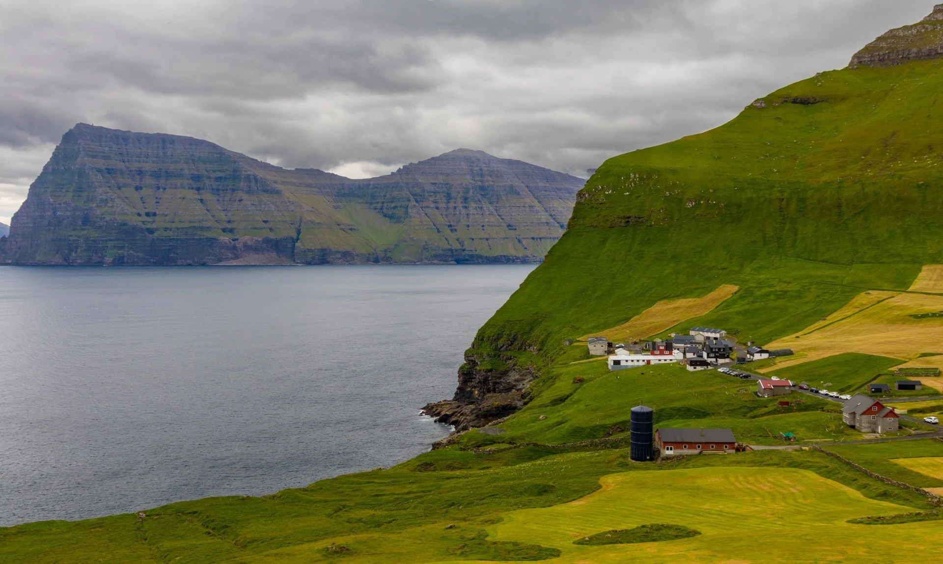
It is very easy to navigate in Trollanes. Just follow the main road until you hit a T-junction. This is Trollanes. There will be a small parking lot on the right and a red building on the left. If you walk along the road past this building, you will soon come out to a fence with a red gate. The path to the lighthouse begins behind this gate.
 |
| Kalsoy Island |
The route is well-trodden, so it's easy to follow. But if you are still lost, then just look for the nearest stone ruins - there are quite a few of them along the way, and they will lead you to the lighthouse in the same way. The journey takes no more than forty minutes and is not difficult for any healthy person. But the species waiting at the end easily justify all the efforts expended.
 |
| Kalsoy Island |
The trail ends at the lighthouse, but the fun is just beginning. From here there are two rocky ridges, along the top of which you can walk. The western ridge stretches north and ends at a point that offers breathtaking views of the lighthouse and the huge cliffs surrounding it. From here, the famous photo of Kalsoy Island for National Geographic magazine was taken. True, to get to the site, you have to walk several tens of meters along a narrow path, surrounded on both sides by almost sheer cliffs. It was this place that scared me the most when looking at photos. It seems like any awkward move here could be the last.
 |
| Kalsoy Island |
Fortunately, the path is actually much safer than it seems from the photographs. Its width is quite enough to walk along it without fear of stumbling. Despite the moisture from the past rain and strong winds, we reached the end of the ridge and back without any problems. Of course, the risk cannot be completely eliminated, and everyone must decide for himself whether it is worth it. But if you step carefully, the probability of falling into the ocean tends to zero.
 |
| Kalsoy Island |
The eastern ridge is much longer, but much less frightening. So if the western one seemed too risky to you, be sure to walk along the eastern one. A delightful view back to the western ridge, the Kallur lighthouse and the Streimoy and Estura islands on the horizon are in no way inferior in beauty and grandeur to the picture that opens from the opposite side.
 |
| Kalsoy Island |
Alas, we were out of luck with the weather. The rain stopped at some point, but soon started again. The strong wind did not want to subside, and although I risked lifting the drone into the air, I did not manage to get the footage that I wanted, and the drone itself almost blew into the ocean. Giant cliffs mask the real wind force high above the ground, so be vigilant if you want to shoot Kalsoy Island from above. We spent an hour at the summit, but the weather continued to deteriorate, visibility dropped completely, and the sky was covered with a solid gray haze. Until the last moment I was hoping for a good light, but, unfortunately, this never happened.
